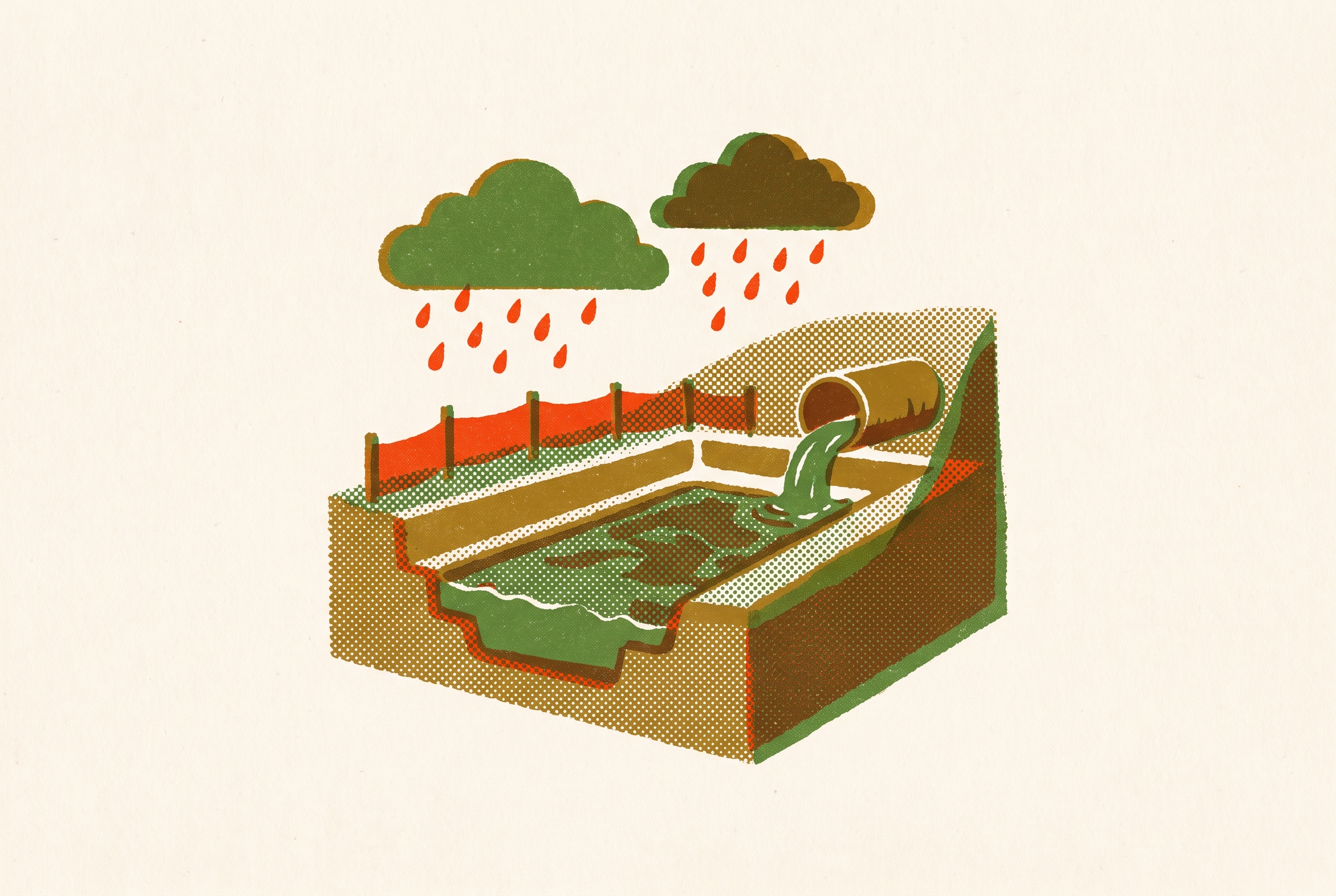
How Drainage Reports and SWPPPs Align on Grading Plan Sets
Coordinating grading, drainage reports, and SWPPPs prevents costly resubmittal cycles.
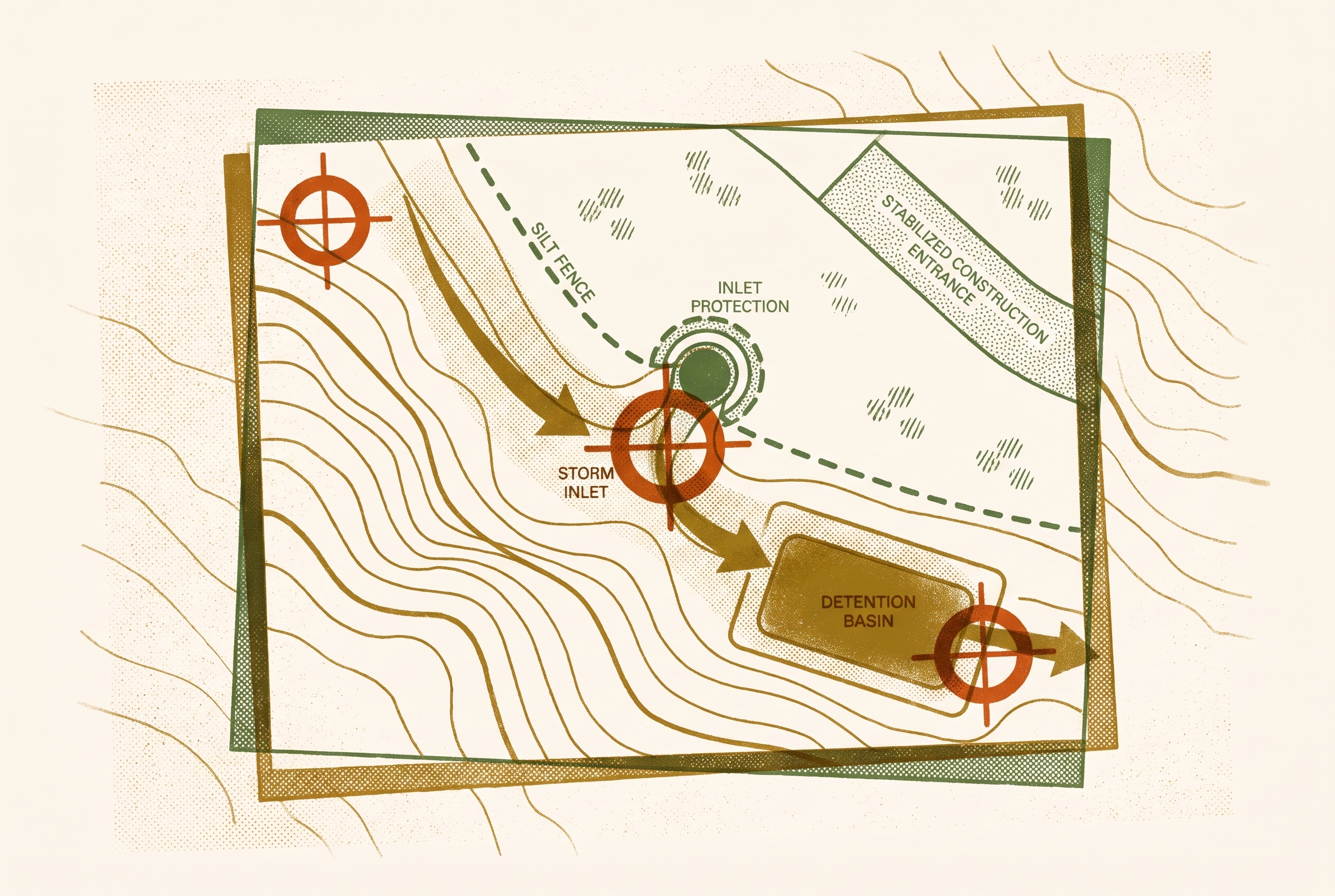
Engineers can approve and stamp AI-assisted work only after licensed review, with the stamp and accountability remaining with the PE. For drainage reports and SWPPPs, that review must establish that basin boundaries, structure numbers, discharge points, and elevations reconcile with the grading plan. A permit-ready stormwater set depends on this cross-document alignment.
What a complete stormwater plan set actually contains and why the pieces are interdependent
City of Olympia's Stormwater Site Plan guide identifies four elements of a complete submittal, namely a Drainage Design Report, a Stormwater Site Management Plan, Site Development Drawings, and a Construction SWPPP. Each is a separate document with a distinct function. Their separation does not make them independent engineering products. The drawings give the documents their shared geometry, while the report adds sizing calculations and feasibility analysis that the drawings alone cannot provide. The SWPPP translates the graded surface into a construction-phase pollution prevention sequence.
These relationships determine how the set must be read. A drainage calculation describes runoff from a defined surface, so its engineering basis depends on the surface represented in the drawings. A construction control serves a location and phase, so its suitability depends on the grading conditions at that point in the work. A complete package has all the required parts, but those parts must also agree for the package to be coordinated.
Why the grading plan functions as the master reference document for the entire set
Proposed contours are the contractor's target for the finished surface. The grading plan establishes finished grades for building pads, driveways, parking areas, and landscaped slopes. Those grades define the geometry from which proposed drainage boundaries, slopes, and discharge points follow. The drainage report calculates pre- and post-development runoff using the corresponding existing and proposed surfaces. Consequently, a proposed contour revision is not simply a local drawing edit when it changes the geometry used elsewhere.
Reviewers examine these relationships rather than treating grading as an isolated discipline. They compare grades and drainage to check for positive drainage away from structures, slopes within code limits, and drainage that does not burden nearby property. The report must support the surface shown on the plan. Meanwhile, the SWPPP's BMP locations, sediment basin siting, and stabilization sequences depend on cut-fill sequencing and finished slopes. The grading plan is the master reference because it supplies the geometry that both the permanent drainage design and the construction controls must interpret.
That role extends beyond the final contours. Construction-phase controls depend on how the site reaches its finished condition. A change to cut-fill sequencing can affect the SWPPP even when the finished drainage design stays the same. A finished-grade change can also affect runoff calculations and where controls go. Coordination requires following the particular dependency changed by the edit.
The specific coordination requirements that connect the drainage report to the grading plan
Structure numbers on plan-and-profile sheets must match those in the drainage report, and stationing must remain consistent with the site and grading plan. These identifiers connect the analysis to a physical location. Disagreement between these identifiers is an engineering coordination failure that prevents a reviewer from reliably associating the reported result with the structure shown. The same requirement for correspondence extends outward from individual structures to the areas draining toward them.
Marysville's Drainage Report Guidelines require basin maps for existing and proposed conditions that outline all project basins, or TDAs, upstream tributary basins, and discharge points. The maps must also identify accompanying project plans and/or SWPPP reports. Basin boundaries must follow the surface used in the analysis. A proposed basin map cannot remain valid merely because it once matched an earlier grading layout. Its limits and discharge points must correspond to the proposed contours in the submitted set.
The guidelines also require discussion of all 13 required TESC elements and how they are addressed, stating that the discussion should be consistent with the TESC plan. Consistency is more demanding than a cross-reference. A report can identify the correct plan yet describe controls or conditions that the plan no longer shows. Jurisdictional arrangements also differ, since a drainage report section may serve as the SWPPP, or a separate SWPPP may be provided. Engineers must establish which arrangement the jurisdiction accepts and identify the controlling document where provisions could conflict.
Minimum Requirement #4 in the same guidelines connects the report's narrative directly to grading geometry. It requires the historic and proposed downstream flowpath from each TDA and justification for any diversion between basins. The narrative must explain the route shown in the drawings. When a change to a discharge elevation or basin divide changes that route, the narrative must be updated along with the label.
How the SWPPP derives its BMP layout and phasing from grading plan geometry
The EPA NPDES Construction General Permit triggers SWPPP requirements for land disturbance of one acre or more. The SWPPP must reflect the actual grading sequence. BMP layout, sediment controls, and stabilization sequencing depend on where disturbance occurs and how runoff moves during construction. A layout drawn from finished contours alone does not establish that its controls fit the intervening grading conditions.
Stabilization sequencing derives from the grading plan's cut-fill phasing, just as sediment basin siting depends on the slopes directing water toward controlled discharge points. If proposed grading redirects runoff away from a sediment basin, that basin's presence on the SWPPP does not make the control effective. A SWPPP with that siting conflict will fail inspection. The grading plan is the geometric origin, but the SWPPP and applicable regulatory requirements govern when they conflict with it. These conflicts must be resolved before the documents are used in the field.
A BMP can occupy a suitable place on the finished plan while failing to match the construction phase in which it is needed. The SWPPP must address both conditions together. Its compliance logic rests on the relationship between disturbed ground, water movement, and the sequence of controls.
Where misalignment actually shows up and what it costs in plan-check rounds
A basin boundary in the drainage report may no longer match the grading plan's proposed contours. A discharge point may retain an elevation that the grading plan has revised. A SWPPP BMP may sit in an area that the plan shows as filled, conflicting with its treatment as disturbed. Each conflict interrupts a different connection in the set. Together, they illustrate why individually complete documents can still produce a deficient submittal.
Basin-calculation and contour mismatches are a recurring source of plan-check resubmittals because they leave the reviewer without a consistent basis for evaluating drainage performance. Coordinating grading, drainage design, and stormwater facilities together reduces these conflicts before review. That coordination helps distinguish a submittal that closes in one or two rounds from one that generates compounding comments. Even after a drawing is fixed, the time spent waiting for another review is lost.
Brookhaven's SWPPP guide assigns defined waiting periods to initial and subsequent reviews. A coordination error that leads to another review cycle can add weeks to the project schedule. More serious inconsistencies extend beyond scheduling. Many states and municipalities require post-development peak flow rates to be at or below pre-development rates. If the report's pre/post calculations do not correspond to the grading contours, the inconsistency can void a permit or trigger a Notice of Violation.
Why this coordination burden falls disproportionately on small and mid-size civil firms
The same senior PE often resolves coordination conflicts and signs the documents that contain them. Small and mid-size firms have limited slack to absorb that workload when permitting activity arrives in bursts. Maintaining fluency in multiple county drainage criteria manuals requires expertise even when that expertise is not billable. Staffing does not expand neatly with each submittal. The constraint is therefore the availability of qualified judgment.
Cross-checking basin maps, BMP locations, structure numbers, and elevations is repetitive, but the work is not wholly mechanical. A checklist can identify the fields to compare without resolving a contextual conflict between them. The PE who must decide whether a basin boundary is correct may also need to sign the drainage report and approve the SWPPP. This concentrates the bottleneck in senior review time. Adding junior drafting hours does not automatically relieve it.
Still, junior staff learn to use their judgment by doing these comparisons. Automating cross-checks removes a traditional rung from that training ladder, which firms should account for when evaluating adoption. The capacity question has two parts. Automation must reduce time spent on routine comparison without obscuring the reasoning that staff need to learn. That is the practical constraint an AI-assisted workflow must fit.
Can engineers trust and stamp AI-assisted grading plan coordination work?
AI's defensible role is to perform bounded coordination tasks while leaving engineering judgment and approval with the licensed engineer. Those tasks include cross-referencing structure numbers between reports and sheets, flagging SWPPP basin boundaries that do not match grading contours, and checking BMP locations against disturbed areas. AI can also draft standardized SWPPP narratives from completed grading plan parameters. These are specific deliverable checks. Their value lies in reducing manual comparison before the PE resolves the engineering questions.
Civil 3D 2026.2 has more than 75 new Dynamo nodes for drainage design and analysis workflows, with nodes for pond design, channel hydraulic parameters, and storage curve analysis. This is a concrete automation capability within an established civil design tool. The useful working pattern is that the machine acts on drawings and produces or checks the written deliverables around them, while the engineer retains the drawing and its engineering basis.
An AI partner that works inside Civil 3D, Revit, and the firm's existing tools follows that pattern and lets the engineer keep coordination in those tools. Software fit reduces the adoption burden but does not establish engineering correctness. An undisclosed utility conflict that requires repositioning a BMP still calls for site-specific judgment. So does a drainage assumption that fails to hold after a site visit. Licensed review remains necessary before the work is stamped, regardless of how much comparison or drafting has been automated.
Marysville's guidelines place responsibility for design conformance and later-discovered errors or omissions on the licensed engineer whose stamp and signature appear on the report. AI assistance does not transfer that responsibility. Trust in an output must rest on the engineer's review of its basis and consistency.
How to implement AI-assisted coordination inside a civil firm without stalling on change management
A firm adopting this model should start with the check that documents agree before each submittal. That workflow can clearly save time while leaving the firm's design process in place. It also gives adoption a defined scope. The test is whether the AI output changes what the PE does next, rather than creating another report beside an unchanged manual check. Expanding only after measurable throughput gains connects the tool to production work.
The American Council of Engineering Companies' October 2025 primer reports that most member firms have an AI strategy, while describing the difficulty smaller firms face in allocating billable hours to evaluation and training. Training therefore needs to be treated as part of implementation. Dunaway's dedicated innovation team shows how a firm can organize the work of exploring, testing, and using new tools. Firms without that function need an implementation approach suited to their available capacity. White-glove onboarding, with the AI team working on-site with engineers, addresses that gap more directly than a software handoff.
A pilot needs ownership and training to become standard practice. They also provide the setting in which engineers can learn how automated findings relate to the underlying grading and drainage decisions. The objective is to concentrate licensed attention on conflicts and assumptions that require judgment, with routine comparisons already completed. Licensed engineers review and approve everything AI produces, and the stamp and accountability remain with the PE whose approval establishes that the documents form a coordinated, permit-ready set.
Sources
- Page 1 of 2 DRAINAGE REPORT GUIDELINES FOR CIVIL PLAN REVIEW
Supplied the specific requirements for basin maps, TESC elements, downstream flowpath narratives, and engineer accountability that underpin multiple sections of the article.
- ALL ABOUT SWPPP A Guide to Submitting SWPPPs February 2025
Provided the specific detail about defined waiting periods for initial and subsequent SWPPP reviews used to illustrate how coordination errors add weeks to a project schedule.